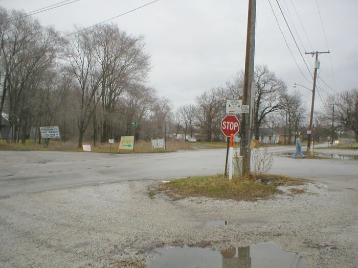

Between Knox and North Judson is the bargain hunters paradise, otherwise known as Toto, Indiana. In earlier years Toto was known as Rye. This name appeared on many NYC station lists and maps. Left: Intersection of Toto Road and South Range Road. The Kankakee Belt once traveled right through this intersection. Right: Looking to the southwest from the same intersection. Note railroad crossbuck in the distance in the backyard.
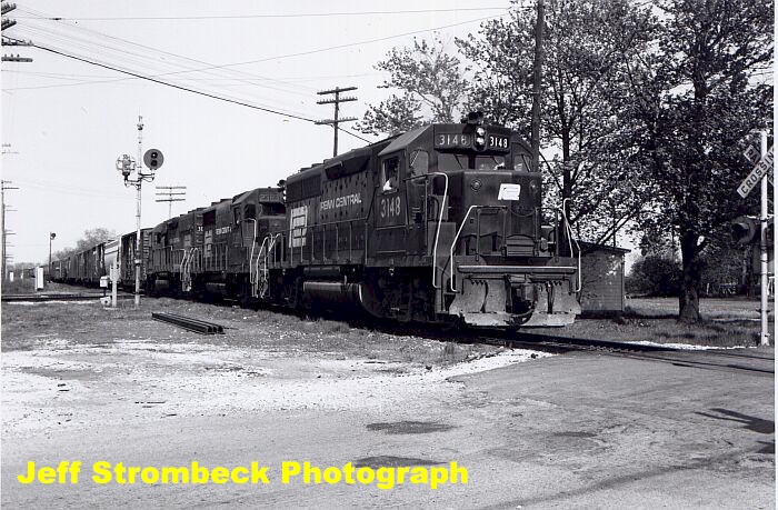
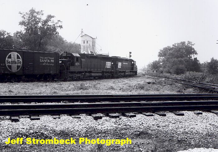
Left: Penn Central action on the Kankakee Belt in North Judson, May 1975. Right: Penn Central on the interchange track at North Judson, August 1973. The Kankakee Belt is the single track in the background.
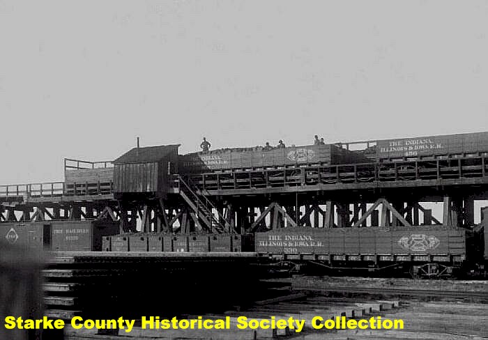
Two images of the former coal docks at North Judson. This facility sat north of Route 10 on the west side of town. Left: Original coal dock, date unknown. Right: New coal dock, circa 1930's. This dock was built in 1923 and was near the same location as the original dock.
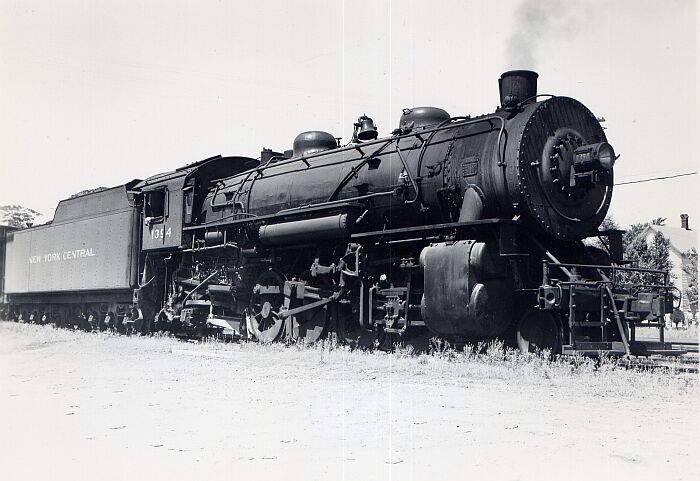
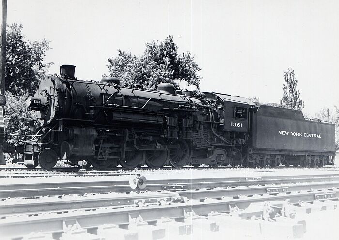
Steam action at North Judson. Left: NYC steam locomotive #1394 a 2-8-2, July 1952. Right: Steam locomotive # 1361 also at North Judson, July 1952.
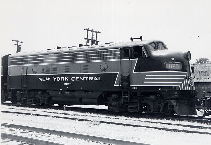
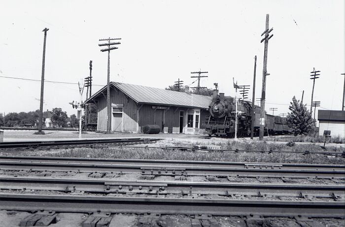
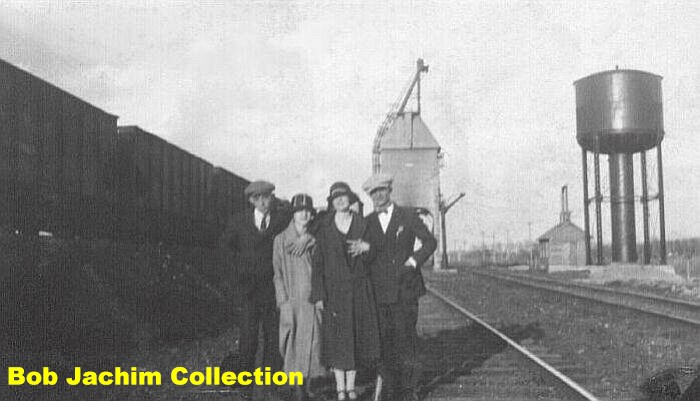
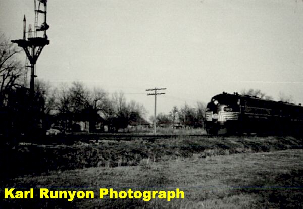
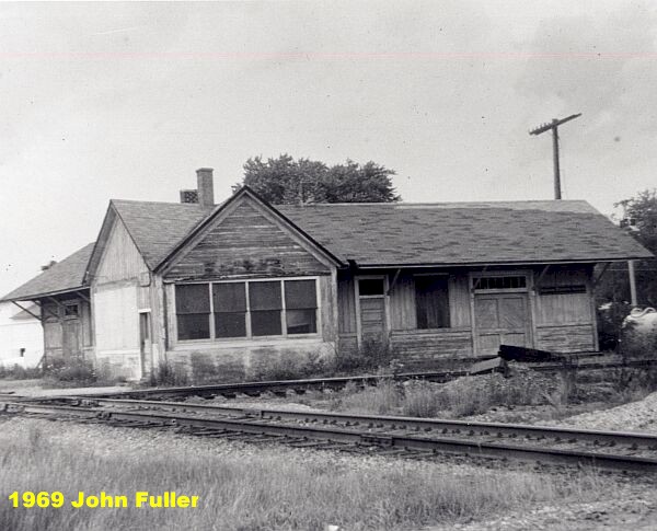
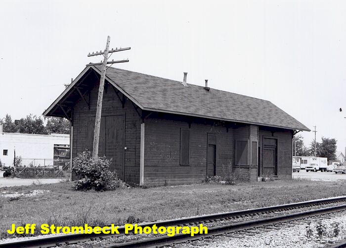
Left: NYC DFA-2 #1825 at North Judson, July 1952. Right: North Judson NYC depot, date unknown.
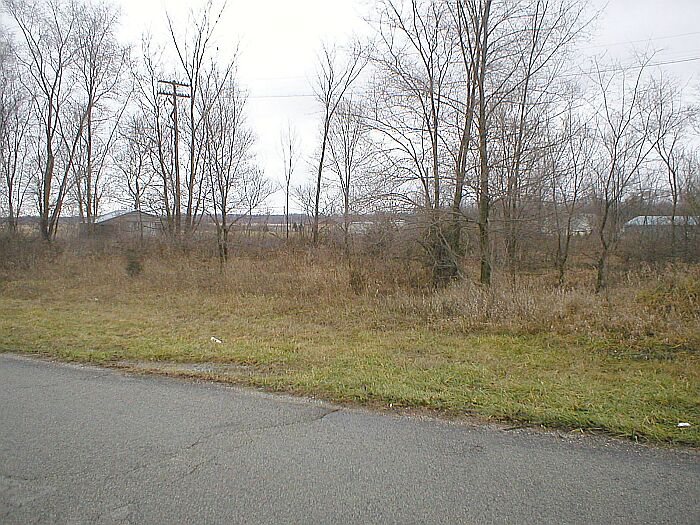
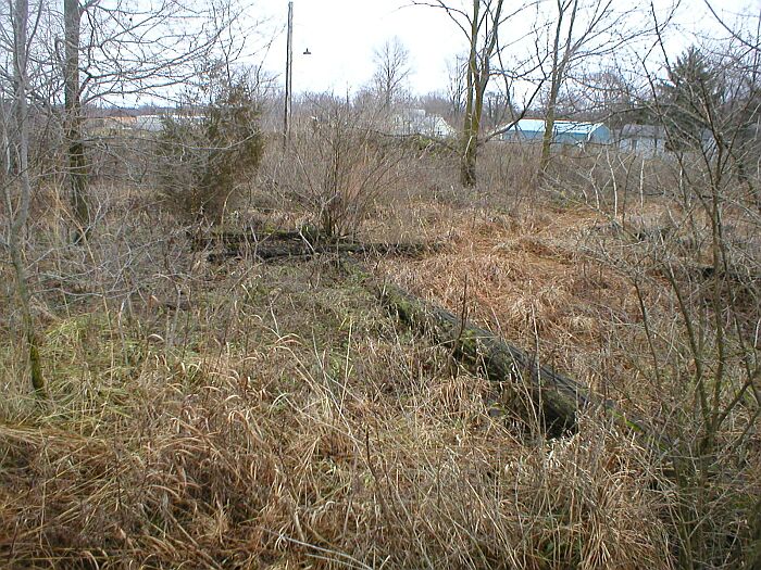
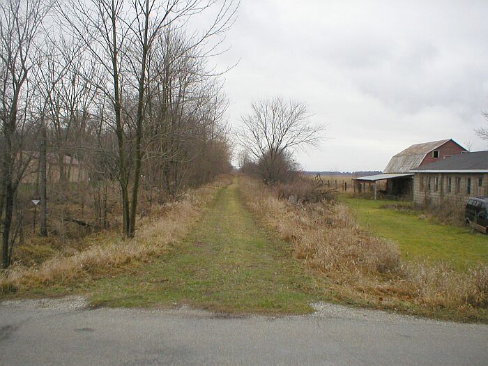
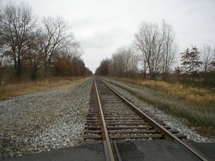
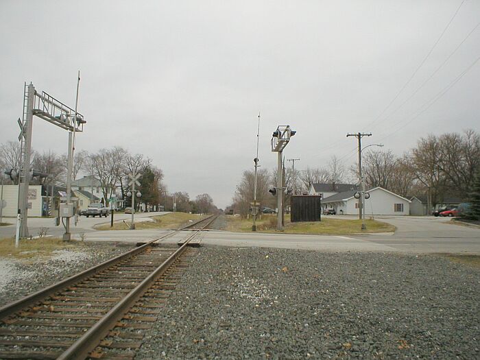
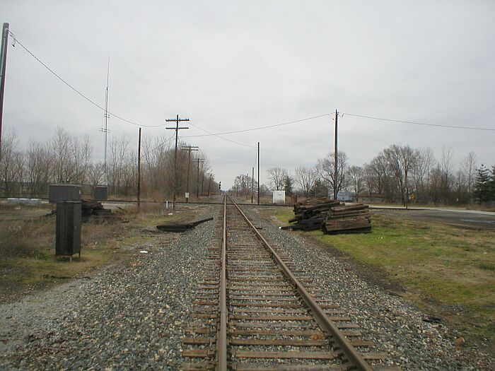
North Judson 2004. Left: Looking northeast in the general vicinity of the NYC crossing from Railroad Street near the Hoosier Valley Railroad Museum (Which would be off to the right side of the photo, across the tracks.) . Not a whole lot left to see. Right: Old telegraph pole lying in the grass near the crossing location.
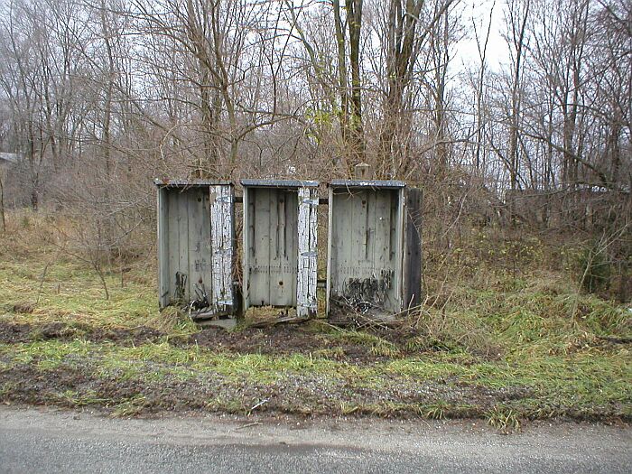
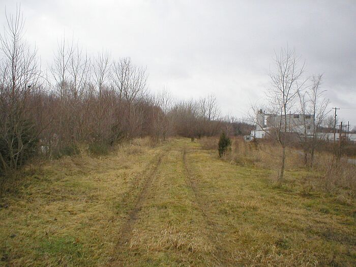
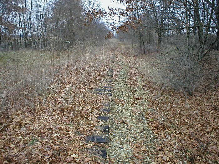
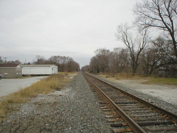
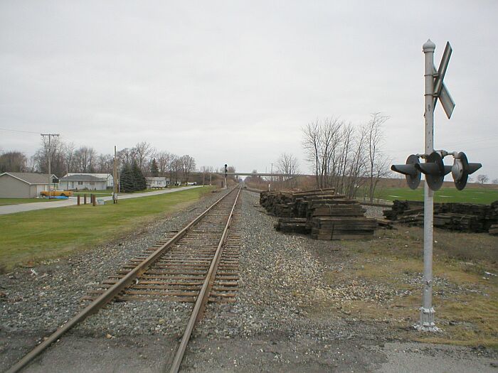
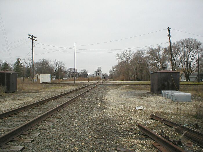
Left: More old railroad stuff near the junction. Old wooden control cabinets. There are also some concrete foundations in the weeds. Too muddy to explore them in greater detail. Right: Looking toward the southwest along the former right of way near Sheridan Street. The right of way continues its southwest path and the next community is San Pierre.
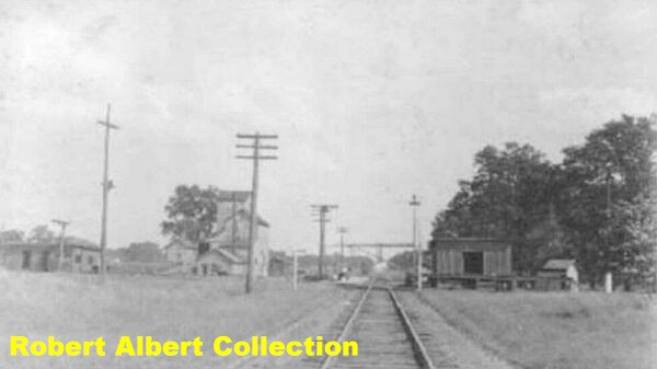
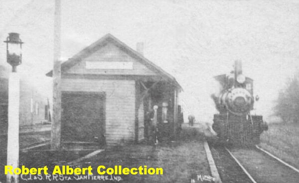
San Pierre, Indiana. At San Pierre, the Kankakee Belt line crossed and interchanged with the Chicago, Indianapolis and Louisville (Monon Railroad). Left: Looking east along the mainline on the Kankakee Belt at San Pierre, circa 1920. Right: Depot at San Pierre, circa 1910. When the joint NYC/ Monon depot was built in the 1920's, the depot pictured here was said to have been relocated to Tefft, west of San Pierre.

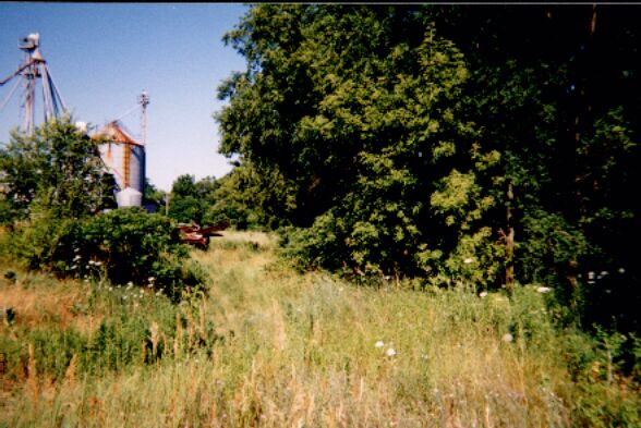
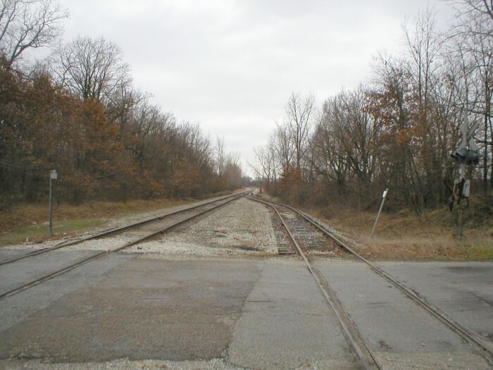
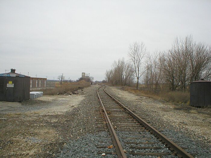
San Pierre. Left: Elevator at San Pierre. The Kankakee Belt is the tracks pictured. Right: Looking east along the abandoned right of way, circa 2003.
 Tefft Indiana,
early 1900's. Kankakee Belt right of way. Picture appears to be taken from
County Road 400E looking northeast.
Tefft Indiana,
early 1900's. Kankakee Belt right of way. Picture appears to be taken from
County Road 400E looking northeast.


Tefft 2004. Left: Looking at the same area a hundred or so years later. Right: Looking back to the east along the old line. Elevator is still in buiness, however, no rail service these days.
 Looking west
along the abandoned right of way from County Road 400E.
Looking west
along the abandoned right of way from County Road 400E.
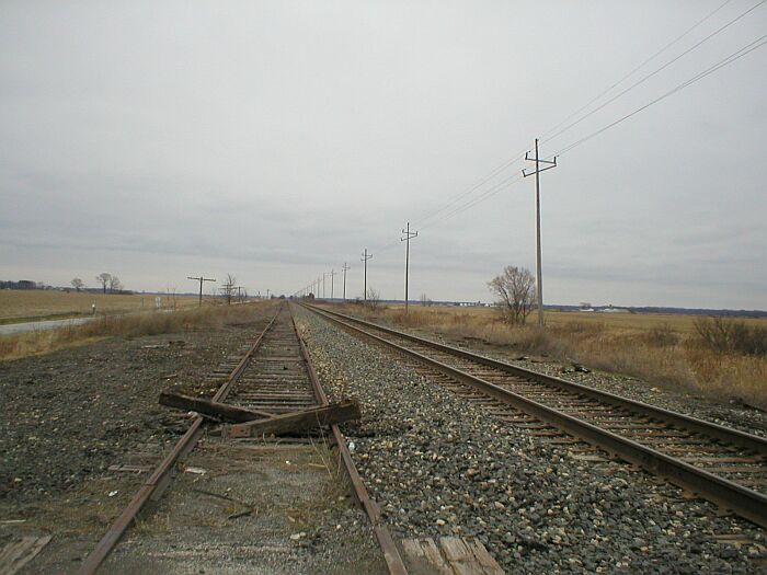
 Looking east along the abandoned mainline from the
County Road 200E crossing. Ties are still in place along the right of way.
Between County Raod 200E and 100E the tracks turn north and run into the NIPSCO
Wheatfield power plant.
Looking east along the abandoned mainline from the
County Road 200E crossing. Ties are still in place along the right of way.
Between County Raod 200E and 100E the tracks turn north and run into the NIPSCO
Wheatfield power plant.
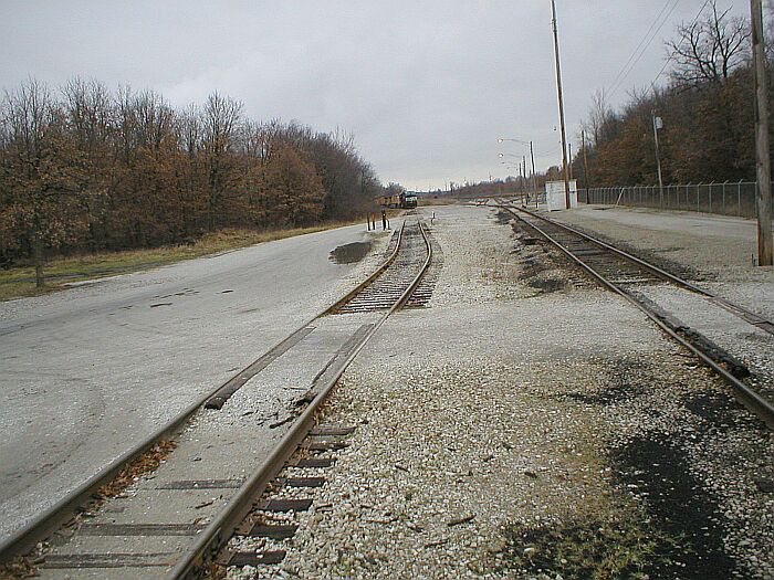
NIPSCO Wheatfield Power Plant. Left: Looking towards the south along the yard lead. Pictures taken from the County Road E 1300 N crossing. Right: Looking inside the plant yard. In the distance sit some NS and UP locomotives.
 County Road 100E crossing, east of Wheatfield. Looking
towards the east.
County Road 100E crossing, east of Wheatfield. Looking
towards the east.
Left and Right: Action on the former Kankakee Belt. Eastbound coal train approaching the County Road 100E crossing. Furthur east of this crossing the tracks curve north into the NIPSCO Generating Station.

Wheatfield, Indiana 2004. Left: Looking down the right of way west of the Bierma Street crossing. Right: Looking back towards the east.
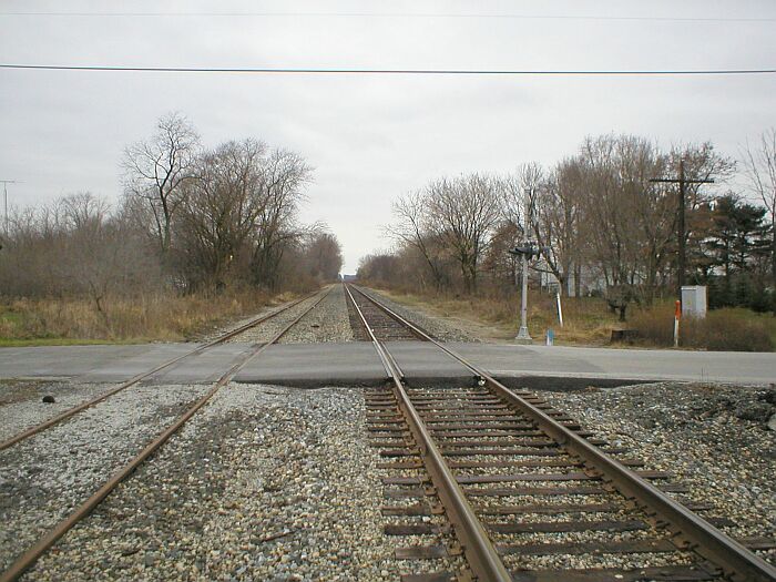
DeMotte, Indiana 2004. Left: Kankakee Belt mainline at DeMotte, looking east across the State Road 231 crossing. Right: Looking east towards the Kankakee River and Shelby.
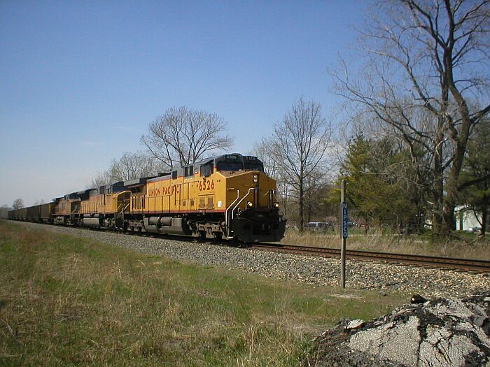
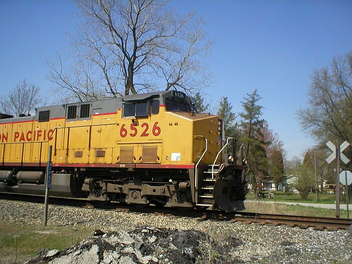
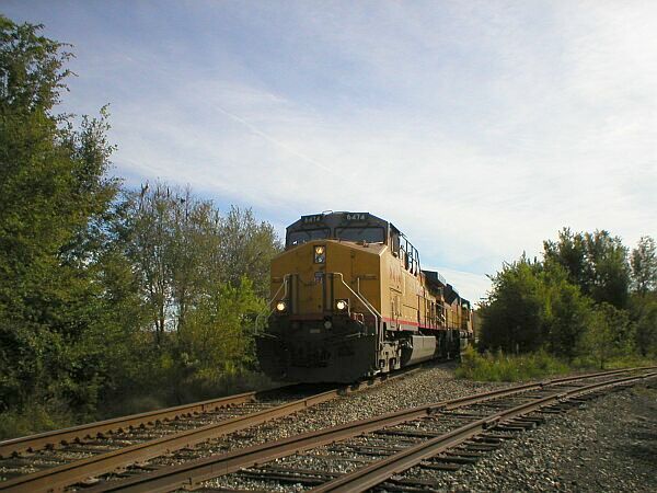 October 2003, DeMotte, Indiana. A westbound coal
train on the old Kankakee Belt line. The line is still in operation to Wheatfield.
The siding veering off to the right was once part of the Chicago and Wabash
Valley Railroad/ Monon Railroad.
October 2003, DeMotte, Indiana. A westbound coal
train on the old Kankakee Belt line. The line is still in operation to Wheatfield.
The siding veering off to the right was once part of the Chicago and Wabash
Valley Railroad/ Monon Railroad.
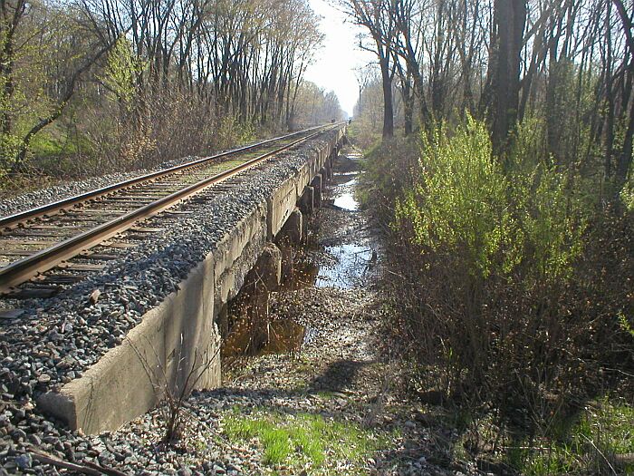
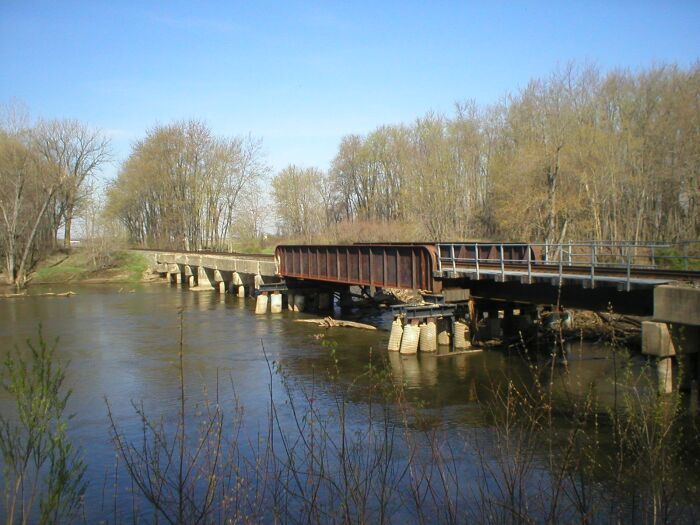
Kankakee Belt bridge east of Shelby. Left: Looking east at the long concrete approach to the bridge. Years of floods have taken their toll on the site. Right: Standing on the levy on the southeast bank looking at the bridge's south facade.
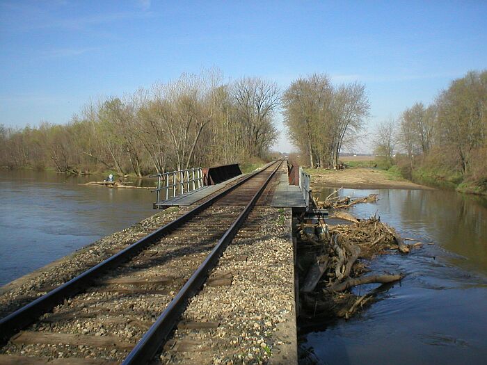
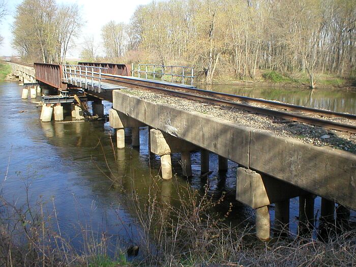
Left: Looking across the bridge towards Shelby. Note pile of debris. Right: Another look at the south facade of the bridge and concrete approach trestles.
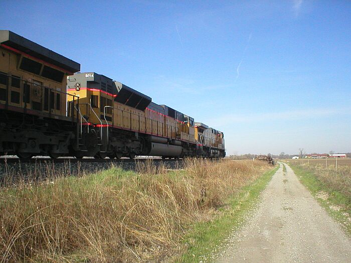 Westbound freight moving empties. On the way back to the Kankakee
River Bridge, we met this westbound freight moving empty coal cars. Too bad
we could not have caught it crossing the bridge.
Westbound freight moving empties. On the way back to the Kankakee
River Bridge, we met this westbound freight moving empty coal cars. Too bad
we could not have caught it crossing the bridge.
Left: Westbound on the Kankakee Belt at Shelby, date unknown. Right: NYC/ Monon union depot in Shelby. The tracks in the foreground are those of the Monon.
 Between Shelby and Schneider there was,
at one time, a two track passing siding. On my recent visit, it appears that
they are removing both passing sidings.
Between Shelby and Schneider there was,
at one time, a two track passing siding. On my recent visit, it appears that
they are removing both passing sidings.
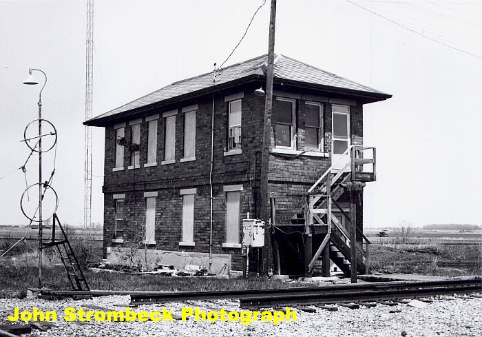 Right: Tower at Schneider, Indiana, circa 1981. The line
interchanged with another NYC branch, known as the Egyptian
Line.
Right: Tower at Schneider, Indiana, circa 1981. The line
interchanged with another NYC branch, known as the Egyptian
Line.
The Kankakee Belt at Schneider. Left: Looking east along the tracks. The crossing of the former NYC Egyptian Line. The Egyptian line has been abandoned south of Schneider. Right: Looking west with the US 41 overpass in the distance.
Left: Looking south across the diamond along the former NYC Egyptian Line. Right: Looking north along the NYC Egyptian Line. The elevator in the distance is still an on line industry.
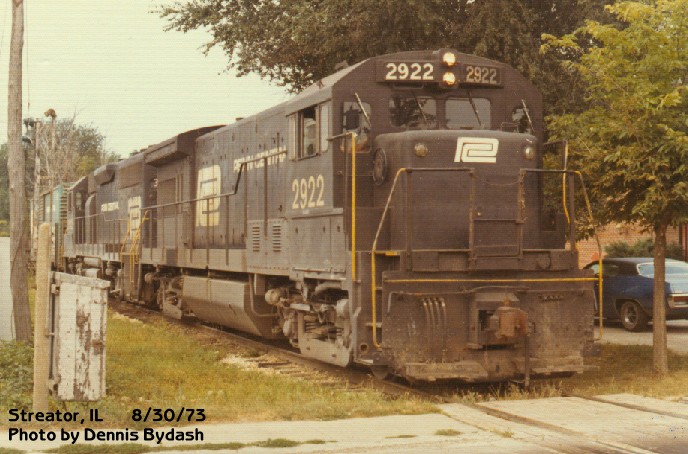
Left: Depot at Momence, Illinois, 1981. Right: At the Route 23 crossing in Streator, U33B 2922 and GP40 3142 bring a 69 car steel train through town.
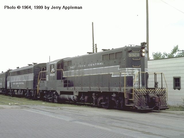 Eastbound freight at Streator, June 1964. GP9 # 5921 is on
the point. Courtesy of Jerry Appleman.
Eastbound freight at Streator, June 1964. GP9 # 5921 is on
the point. Courtesy of Jerry Appleman.
| NYC Main | NYC Page 2 | NYC Page 3 | NYC Page 4 | NYC Page 5 |
| NYC Page 6 | NYC Page 7 |