|
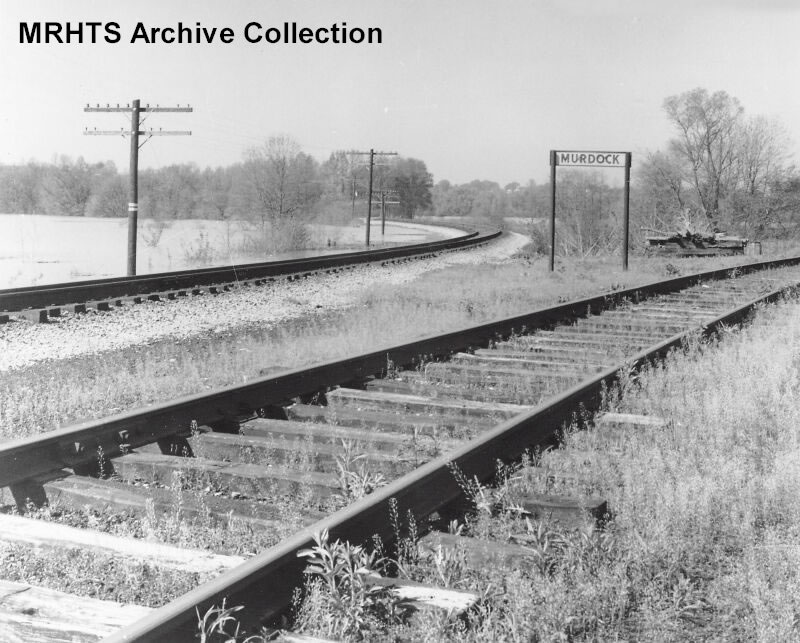
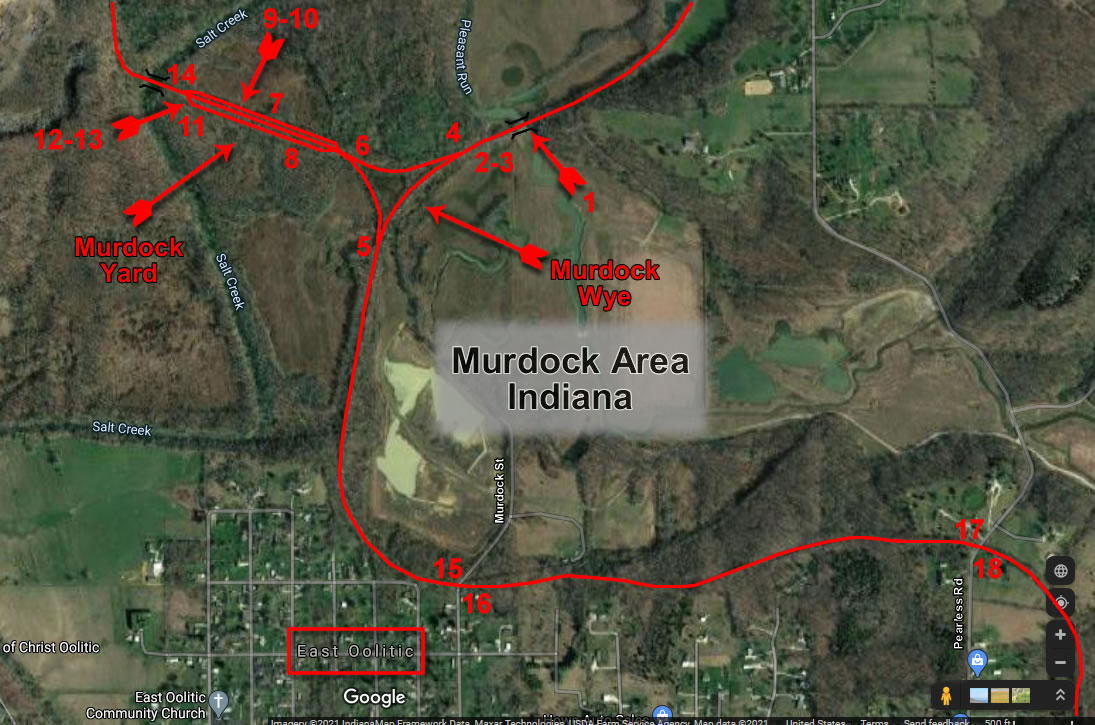
MP 241.4 5th Subdivision - Hu
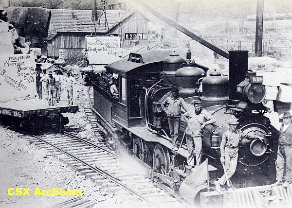
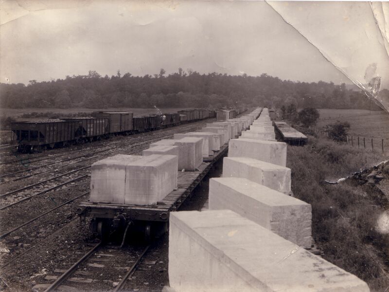
Northbound train with columns near Murdock and East Oolitic, 1922. -Pete Pedigo Collection-
Passenger train wreck near the Wye at Murdock, March 17, 1906. These are not the exact same picture. Each was developed differently and the crowd has been moved. It would appear to be on the south leg of Horse Show facing East Oolitic, ahead on the hill. The locomotive in the distance has just passed Murdock heading to the accident. -MRTHS Photo Archive, Pete Pedigo Collections-
Left: Train #6 passing Murdock, June of 1958. Right: Same Train #6 at Murdock, June of 1958. -J. F. Eudaly Photographs, Steve Hill Collection-
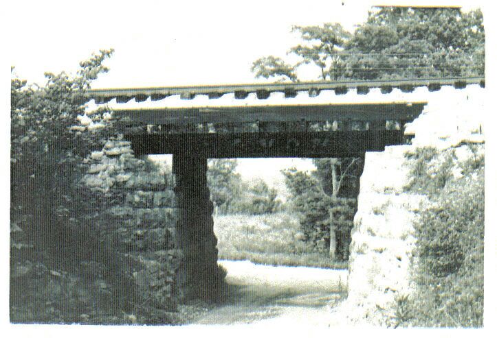
Bridge at Plesant Run MP 241.3
Left: Mainline off to the left and one leg of the Murdock wye. Sign announces the location. Right: Looking down the Murdock branch at the flooded Salt Creek.
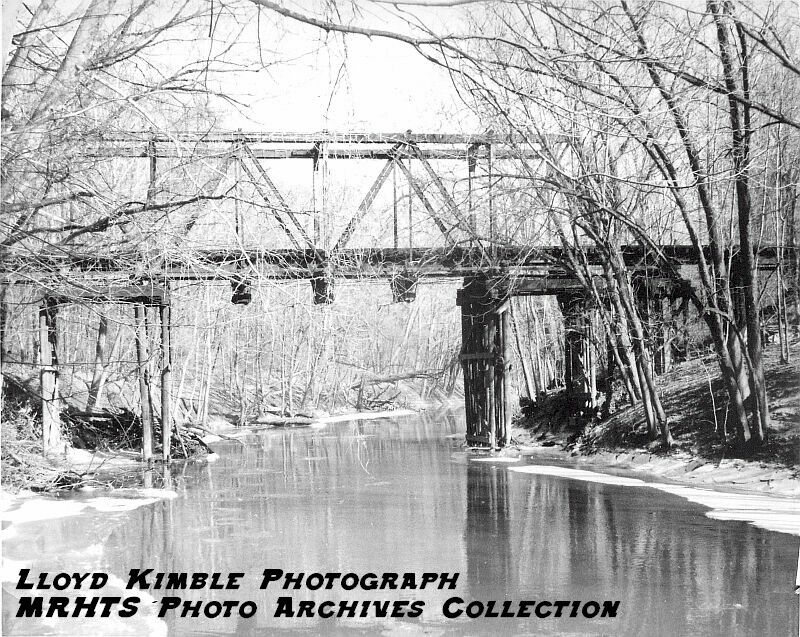
Murdock yard which was part of the wye at Murdock (Horse Shoe Curve). The photo is looking west towards the P.M. and B quarry. Note the overhead bridge in the distance. This is the bridge across Salt Creek. -Courtesy of Pete Pedigo-
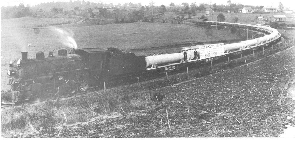
Interesting location. Known as the Empire hole, this quarry is where all the limestone for the Empire State Building in New York City. Once all the stone had been produced, the hole was shut down. -Courtesy of Pete Pedigo-
Left: Circa 2007. Your first glimpse of the Empire Quarry is breathtaking.
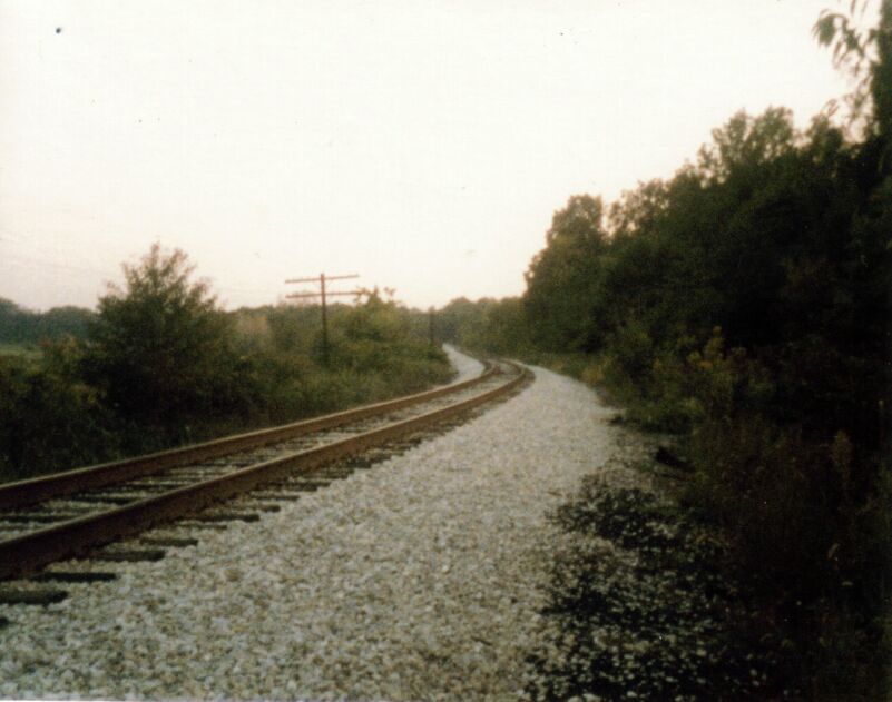
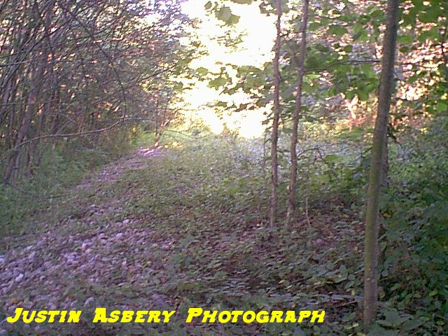
Looking south along the right of way between Thornton and Murdock, circa 1980's. -Steve Stafford photograph-
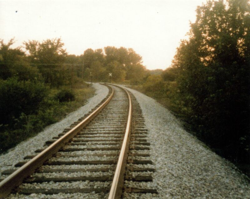
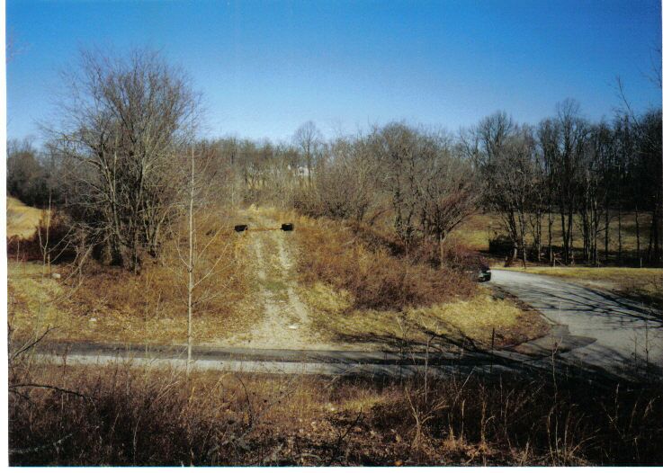
Main line at Murdock, circa 1980's. Road pictured is Murdock Station Road. Left: Looking southbound. Right: Northbound. -Steve Stafford Photographs-
Murdock Indiana. Left: Looking south down the Murdock Branch. Monon mainline is to the left of the picture. Right: Another look towards the south on the old branchline.
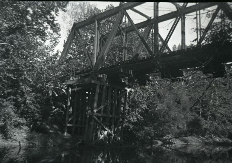
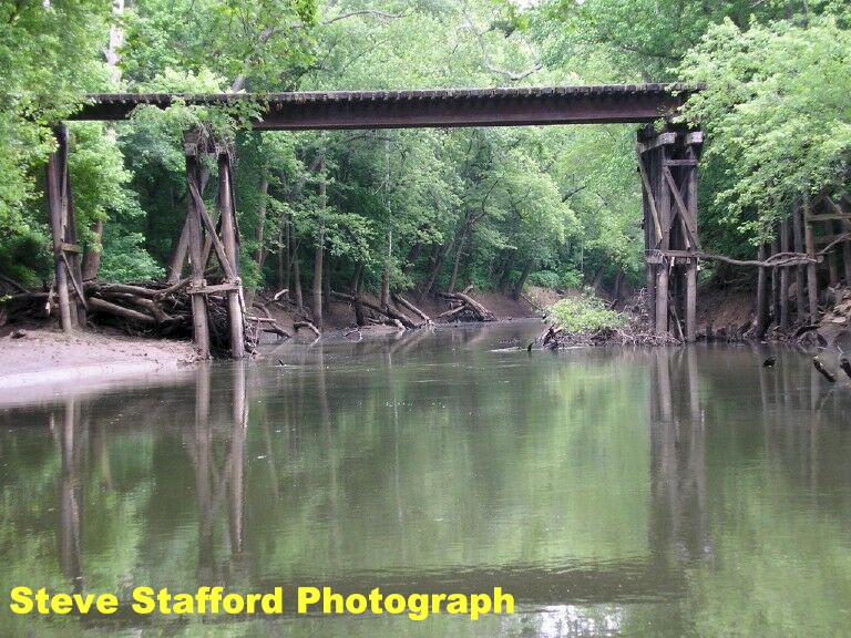
Left and Right: Bridge of Salt Creek on the Murdock Branch. This is the same bridge above. No date listed, however Steve Stafford visited the area recently and spoke with several local residents. They identified these pictures as the bridge. I have added several photos of this bridge, circa 2006 on the Murdock Branchline page.
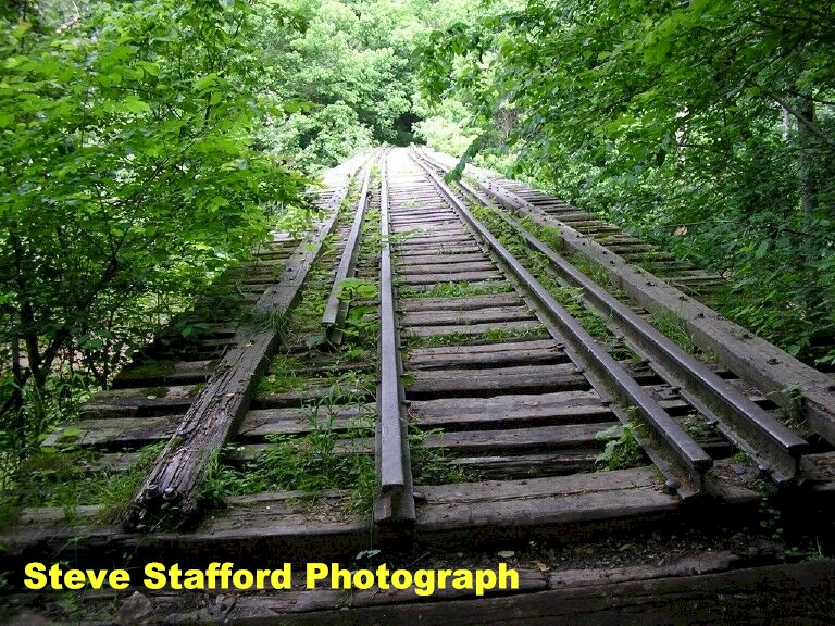
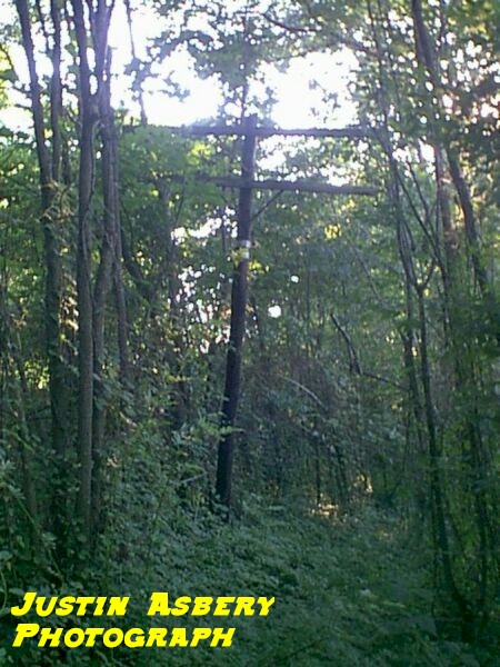
Looking at the trestle, circa 2006. Special thanks to Steve Stafford for going out and taking these pictures. Left: Side look of the trestle. Looking north across the trestle. Murdock area 2021 Pictures by Nathan
Miles
MP 243.6 5th Subdivision - Oolitic was originally platted as "Limestone" on September 26, 1888. In 1896 the name was sent to Washington D. C., to allow a post office to be established. The request was refused because of a town already named Limestone, Indiana. Doctor R. B. Short suggested using "Oolitic", and Oolitic became incorporated on November 4, 1901.
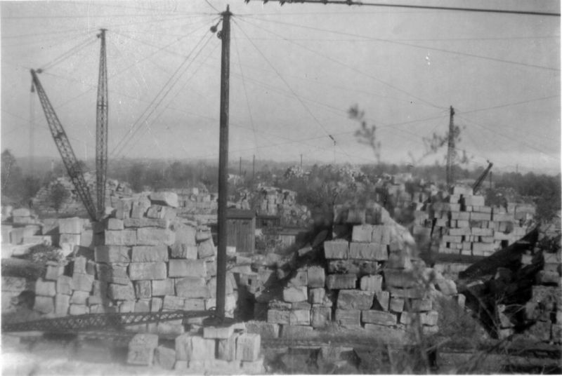
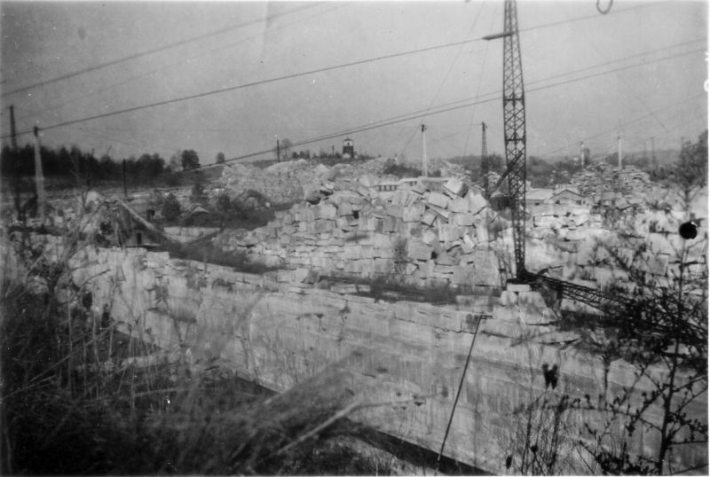
Oolitic Quarry scenes, circa 1937.
The word oolitic was used as an adjective for oolitic limestone (derived from the Greek word oolite, meaning eggs and stone). Limestone is a sedimentary rock composed of calcium carbonate, magnesium carbonate and quartz, along with the small shells and eggs left behind when this area was covered by an inland sea. Found immediately north of Oolitic are some of the largest Limestone quarries in the world, many of them in continuous operation since the 1830's. Many famous buildings are built of Oolitic Limestone. Probably the most famous is the Empire State Building. Visitors can see the "Empire Hole," about 1/2 mile north of Oolitic. This is the site where the Limestone for the Empire State Building was quarried. Oolitic 2007
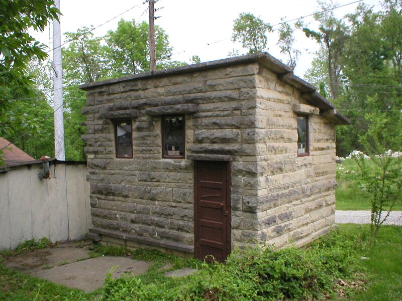
Left: Oolitic jail. The building is made of limestone, even the roof. According to Steve, they used this jail to hold bad guys until transport to Bedford. Right: Front of the old jail. Bar are still in the windows. Pretty interesting.
Left: Side view of the old jail. Right: Downtown Oolitic.
Bygone Quarry Page East Oolitic 2005
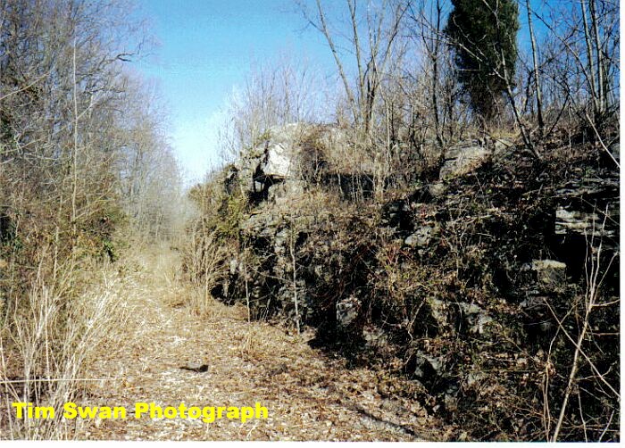
East Oolitic 2005. Left: Looking down the former right of way to the RR south. Right: They are sort of hard to see in this photograph, but these ties still remain in the old roadbed. These are on the north side of the right of way near a fence.
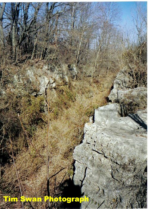
Klu Klux Cut MP 243.9 5th Subdivision - The KK cut (MP 243.9) was on the mainline between Murdock and Bedford. The track was removed in 1994 after the abandonment of the line between Cloverdale and Bedford after a major washout.
F3 #64A leads a freight through the cut, early 1950's.
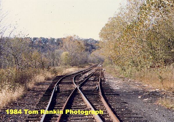
Left: Viaduct on the south end of the Klu Klux Cut, circa 1976. Right: Same area, circa 2003. Looking along the mainline.
|


Return To Home | Contact Us | About Us @2004-2024 Monon Railroad Historical-Technical Society, Inc. All rights reserved.