MP 238.9 5th Subdivision -
Salt Creek zig-zags through the countryside and the former Monon mainline
crossed it three times The north bridge (MP 238.5) was at a location sometimes
known as Logan. The middle bridge (pictured below) was at MP 234.9. The third
bridge was just north of Peerless and is pictured in the Peerless section.
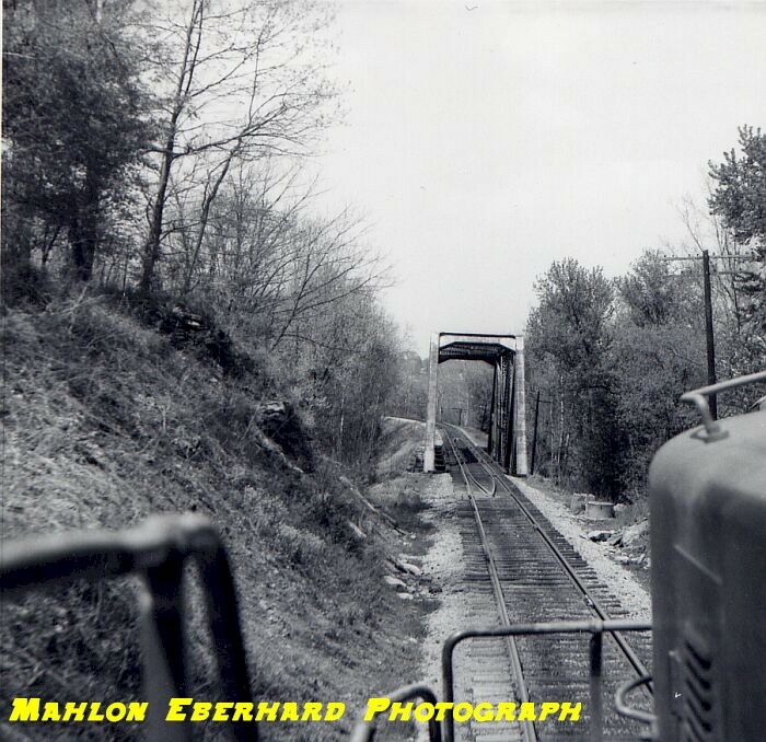
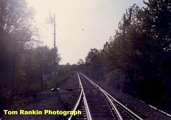
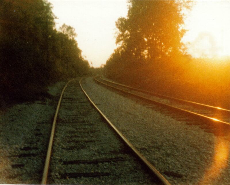
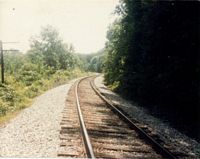
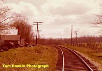
Northbound approaching the Middle Salt Creek bridge.
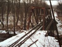

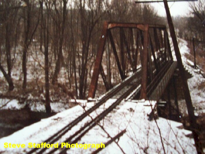
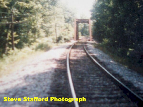
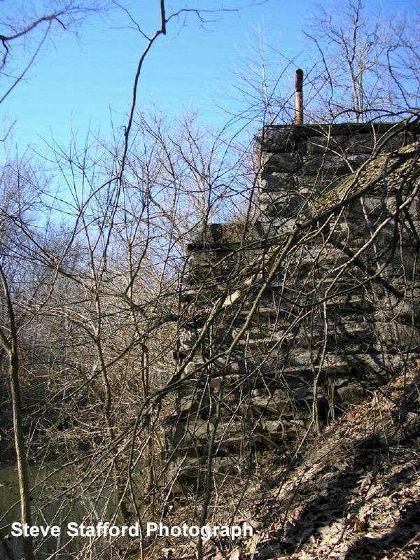
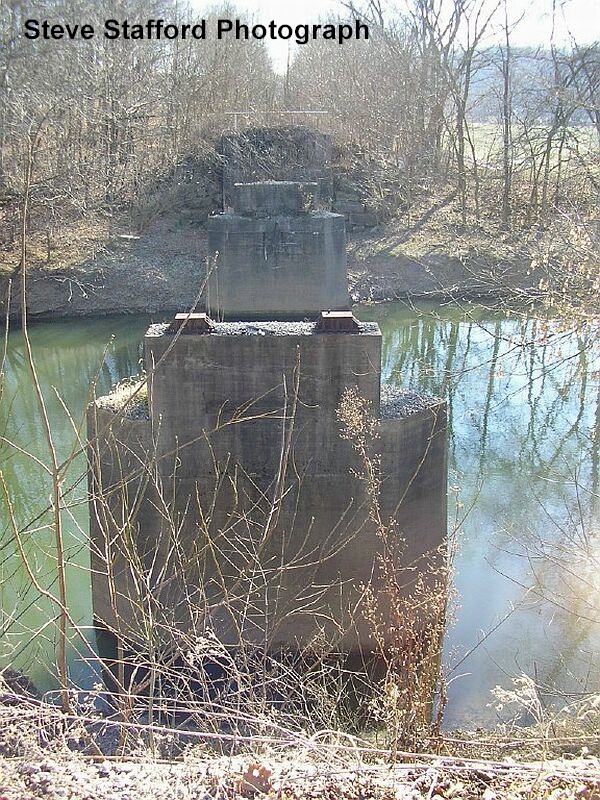
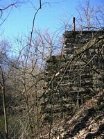
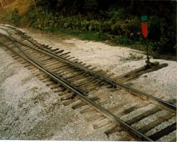
Middle Salt Creek bridge. Left: The Salt Creek
bridge looking north. Right: Another view of the bridge, looking southbound.
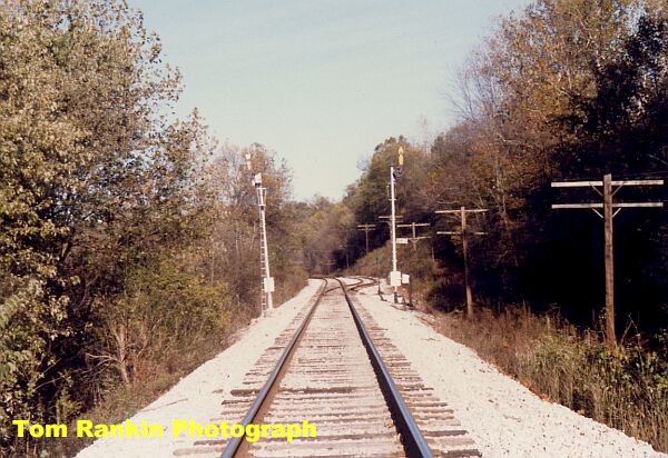
 Another view of the Middle Salt Creek bridge.
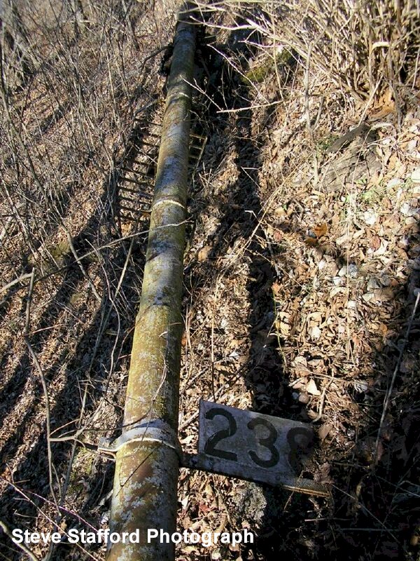
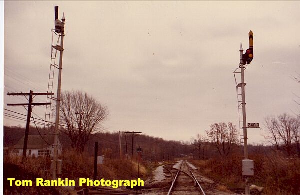
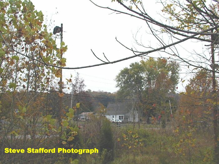
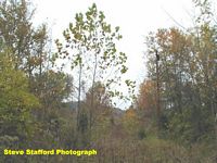
 Just north of Middle Salt Creek. Milepost 238.5. A little hard to pick out, but there is a signal mast off in the brush. -Courtesy Steve Stafford-
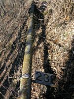
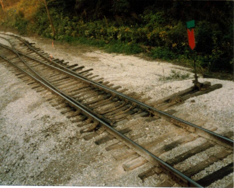
Close up of the signal mast lying off the former mainline.

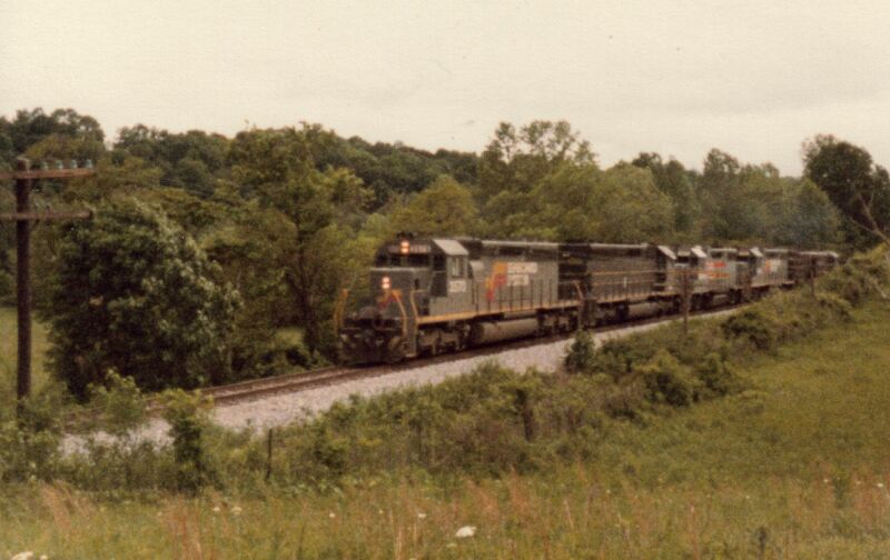
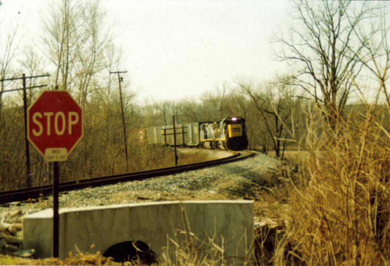
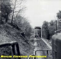
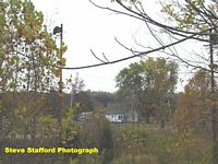
Mile Post 239 during the Seaboard days. This southbound freight was photographed during the 1980's. Steve Stafford Photograph.
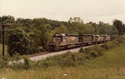
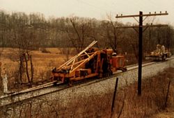
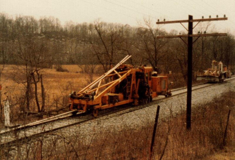
Left: Seaboard action on the former Monon at MP 239, circa 1980's. Right: Track crew at MP 239. This was very close to removal of the tracks. -Steve Stafford Photographs-
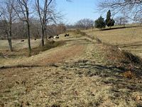
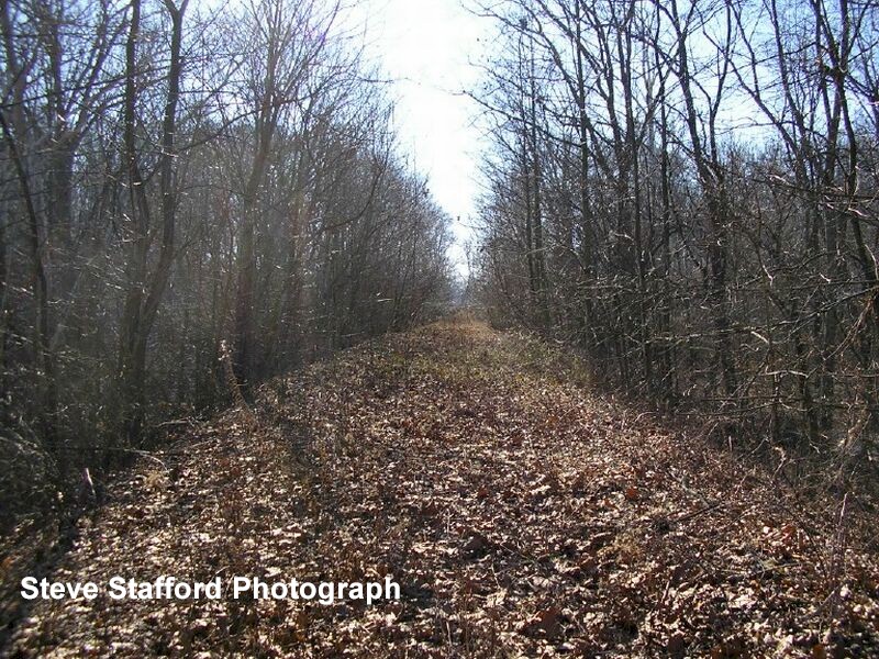
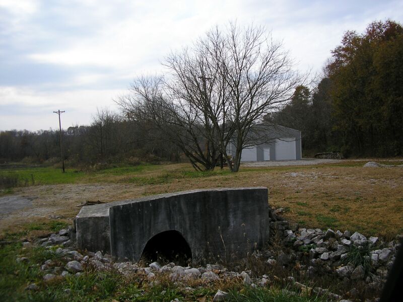
Left: Looking south down the old right of way toward where the middle Salt Creek Bridge once stood. Right: Looking at the old right of way at milepost 239. Cows graze on the old right of way.
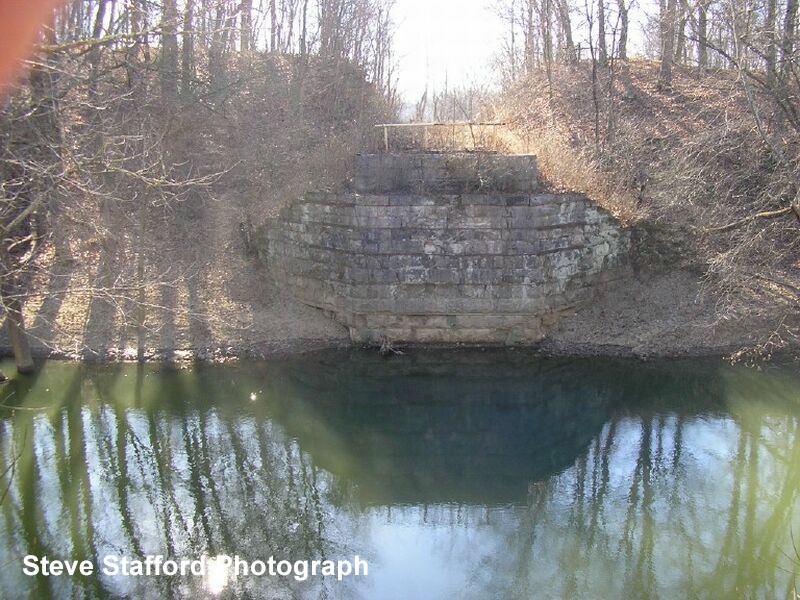
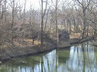
 Looking across Middle Salt Creek from the north side of the old bridge site.
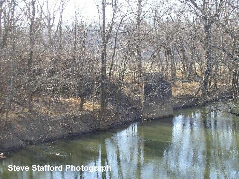
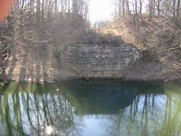
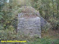
Shot of the abutment on the north side of Middle Salt Creek.

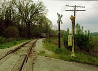
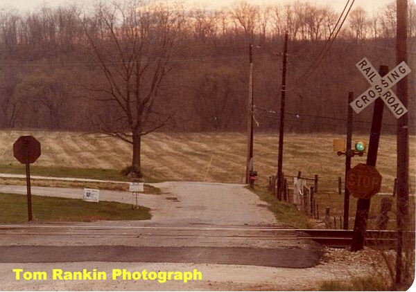
Left: Judah Logan Road crossing, looking south. The train is northbound. This is the first crossing North of North Salt Creek bridge. Right: Judah Logan Road crossing, looking north. Photos circa 1980's. Steve Stafford Photographs.

What a difference 15 or so years makes. Left: 2007 view of former Judah Logan Road crossing looking south. Right: Looking north. Steve Stafford Photographs.
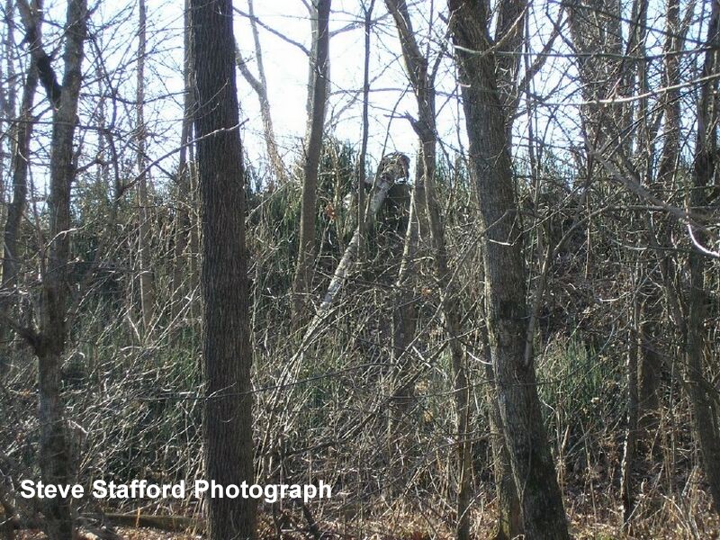
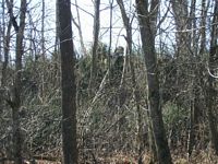
North Salt Creek. Looking at the former bridge site.

Looking across North Salt Creek along the old right of way.
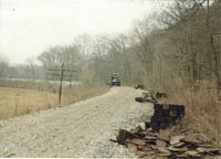
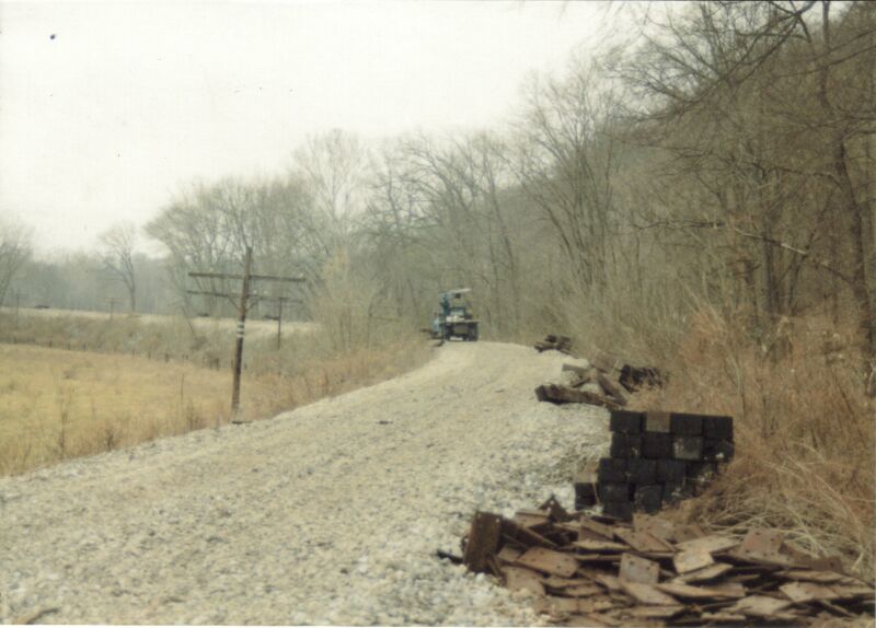
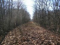
The former right of way between Middle Salt Creek and Peerless. Left: Looking southbound along the right of way. Right: Same area after the tracks had been removed. Steve Stafford Photographs

MP 240.2 5th Subdivision -

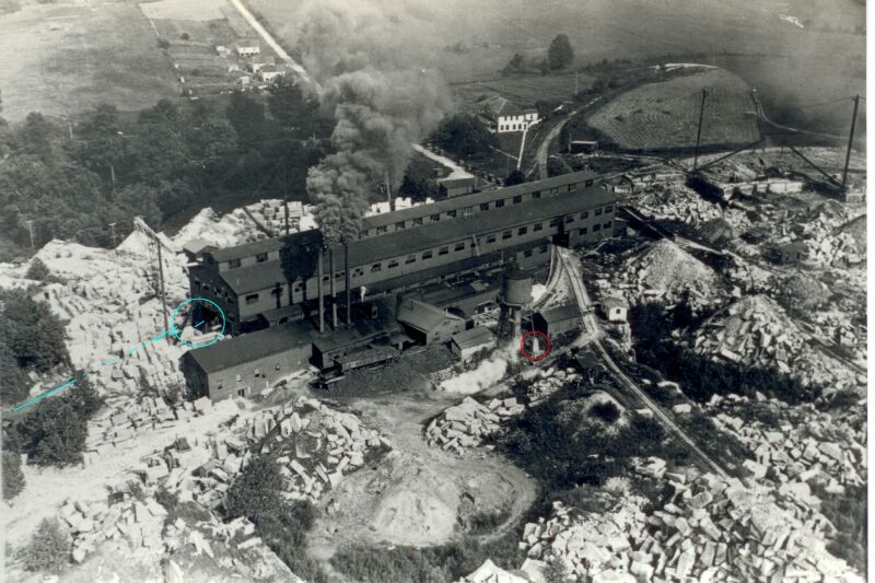
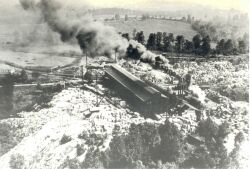
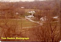
Peerless Fanning Mill. This view is
looking east. The Red circle is the base of the water tower. This base is still standing. The Blue lines and circle indicate the track on the other side of the mill, and the track that enters the mill. Notice in this photo the Monon gon used to transport coal to the mill boilers. Also notice it is unloaded by hand onto the ground. Not one building, house or any structure in this picture exists in 2008. The roads are gone and it’s a long walk to the propoerty. The 80 year old forest is taking the property back over and the stone (grout) piles are hardly visible on aerial photographs now. -Courtesy Pete Pedigo-
Peerless Fanning mill looking south. This shows where the steam engines entered and exited the mill. While not as good of a picture as the others is does show some details of the track going in and out of the building etc and its positioning in relationship to the quarry. -Courtesy Pete Pedigo-
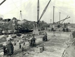
Fanning Mill and quarry at Peerless. There are 61 men in this picture. See if you can find them all. -Courtesy of Pete Pedigo-

Peerless
Indiana, circa 1970-1980's. Left: Mainline curve at Peerless, 1977. Right:
North of Peerless, bridge over Salt Creek. North is to the right of the
picture.

Left: Looking
at downtown Peerless, April 1983. South is to the right side of the photo.
Right: Close up of the crossing in Peerless, including the familiar green
light signal, a Monon standard.
Last train over the former Monon right of way. Its purpose was removal of the rails. The church pictured below would be off to the right. -Steve Stafford photograph-

MP 240.9 5th Subdivision -
Thorton is one of those named places
along the Monon because of a passing siding. The north end of Thornton
siding is actually at Peerless and the south end of Thornton siding is
within
a couple
of
thousand
feet
of the first switch to the wye at Murdock.

Thornton, Indiana. Left: Mainline
at Thornton. Looking south, circa 1984. Right: Looking north along the
former Monon.
 Another
view looking south along the mainline at the north end of the Thornton
siding, circa 1979.
Another
view looking south along the mainline at the north end of the Thornton
siding, circa 1979.

Left: Siding at Thoirnton. Right: Thornton switch as seen from the signal tower. -Steve Stafford Photographs-
Left and Right: Thornton Siding 2004.
These images are courtesy of Pete Pedigo, who went wandering on day and
found
two old
semaphore
masts
near Peerless.
These would be at the north end of the siding. At the property owner's request,
Pete salvaged the semaphores and is planning to restore them.

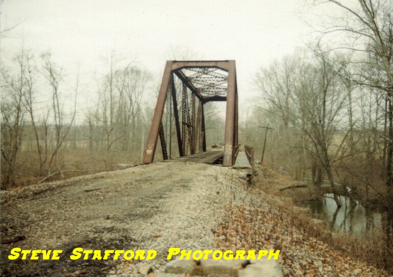
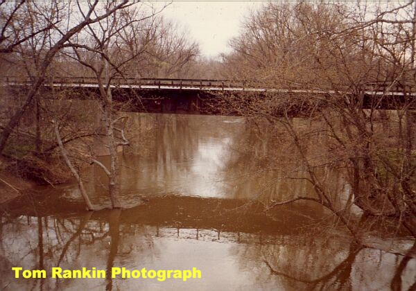
Bridge over Pleasant
Run Creek, which is just south of the South End of Thornton Siding. Left:
South bridge abutment. Right: View of both abutments from the banks of
Pleasant Run Creek.
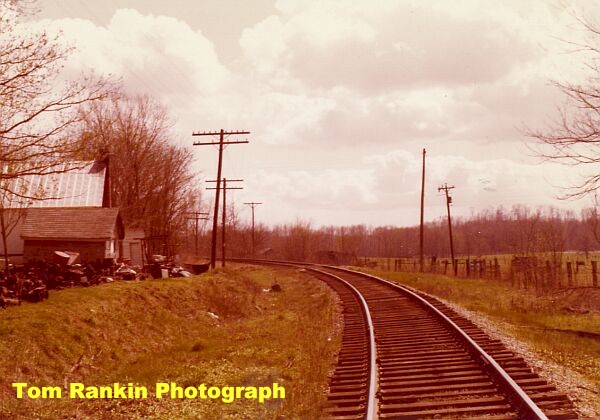
Thornton Siding area 2021
Pictures by Nathan
Miles
click on map to view all pictures by number

| Bygone Monon Main |
Fifth Subdivision |